While researching information for my next book, I came across the interesting story of Independence Rock located 55 miles southwest of Casper, Wyoming on hwy 220.
It all began fifty million years ago, when the peaks of the Granite Range rose up to begin the long geologic processes of exfoliation. The mountains eventually sagged into the earth's crust, and about 15 million years ago, wind-blown sand smoothed and rounded their summits creating this great American landmark.When American fur hunters headed west in the 1820s, the Sweetwater Valley became the main trail to the heart of the continent. After that, came the pioneers.

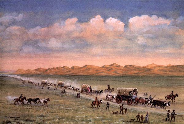
painting by William Henry Jackson
In 1824, M. K. Hugh carved the oldest recorded inscription (now weathered
away) into the ancient landmark. Some say legendary mountain man Thomas "Broken Hand" Fitzpatrick named it "Rock Independence" that year when he passed by on the Fourth of July. The pioneer priest, Pierre-Jean De Smet, saw the rock in 1841, and dubbed it "the great register of the desert." Other sojourners called it the backbone of the universe.
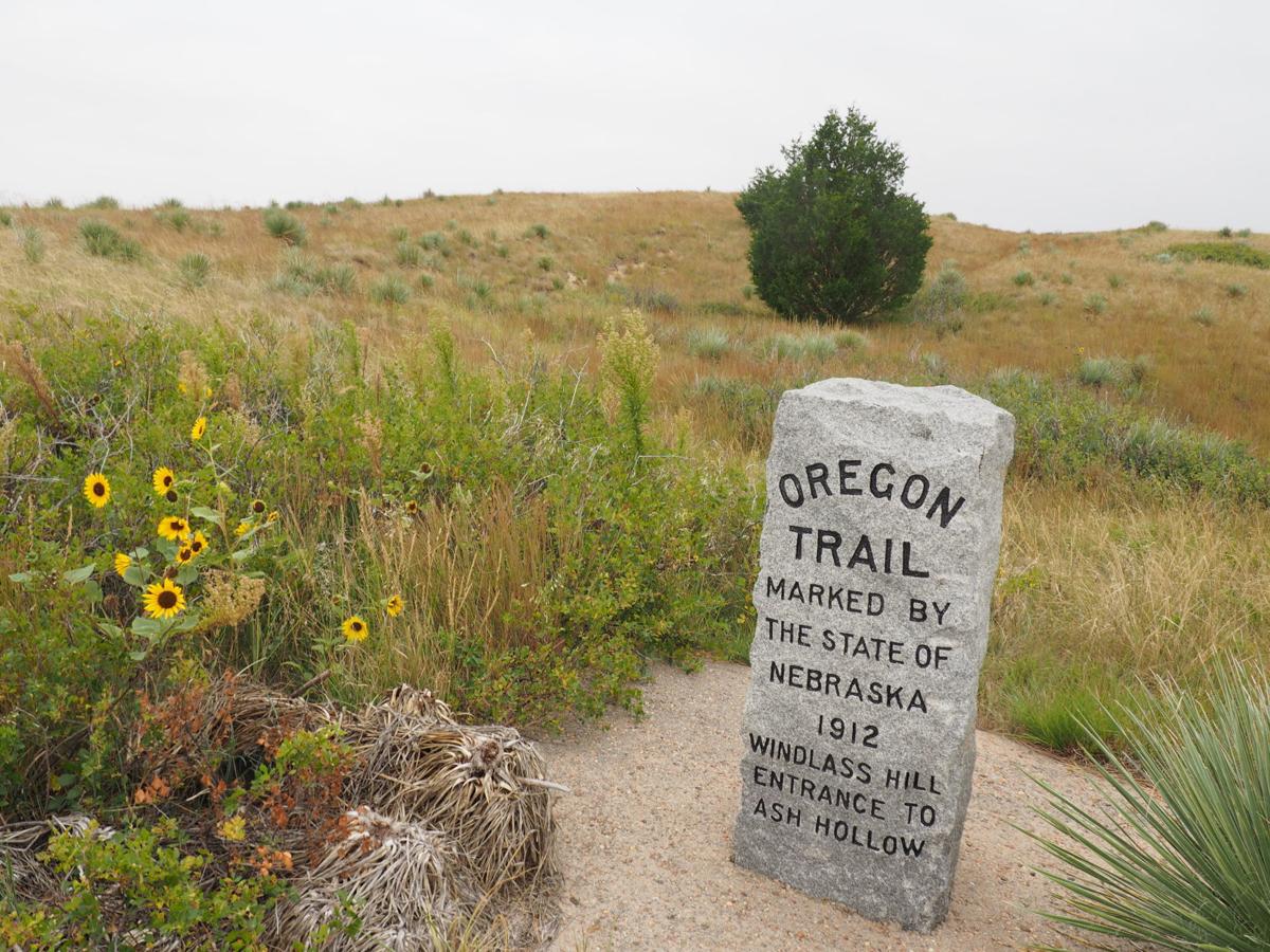
Over three decades, nearly half a million Americans passed Independence Rock on their way to new homes on the frontier. Located at the approximate mid-point between the Missouri River and the Pacific Coast, Independence Rock became a milestone for travelers on the Oregon Trail.
Although much of the trail has disappeared beneath modern cities and highways, hundreds of miles of nearly pristine ruts and swales still mark its course over the plains and mountains of Wyoming.

I've been on the Santa Fe trail, but not the Oregon, the bucket is growing.


No comments:
Post a Comment